What is new
The following features are new for the uDig 1.4 series.
Related reference
License Change
The uDig project has changed to a dual BSD / EPL license.
This license change has enabled the uDig project to apply to the Eclipse Foundation LocationTech industry working group.
GeoScript Editor
uDig is pleased to directly offer a scripting environment for the first time. Scripting a powerful technique in a Geospaital Information Systems allowing non-developers the ability to automate common tasks.
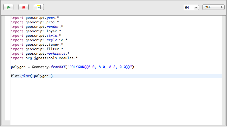
There is a quick tutorial (GeoScript Introduction) and a reference page for the GeoScript editor.
For more information and tutorials please checkout GeoScript at geoscript.org
Documents
The Document view added to list resource and feature documents.
Attachments and links:
- Resource attachments: Attach files and web links to a layer for easy access
- Feature attachments: Attach files and web links to individual features
- Attachments are copied in the same fashion as email attachments, alternatively both web and file links are supported (and are not copied).
- Out of the box support for Shapefile attachments, files are stored in a folder next to your shapefile
Feature Hotlinks:
- Configure an attribute to act as a hotlinks for file or website
- Or define custom action to open a local action or fire off a google search using an attribute value
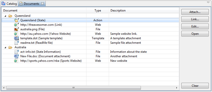
For more information, check out the Tasks section on Working with Documents.
Graticule
A new Graticule map decoration has been added.
It is also possible to overlay grids in different coordinate systems:
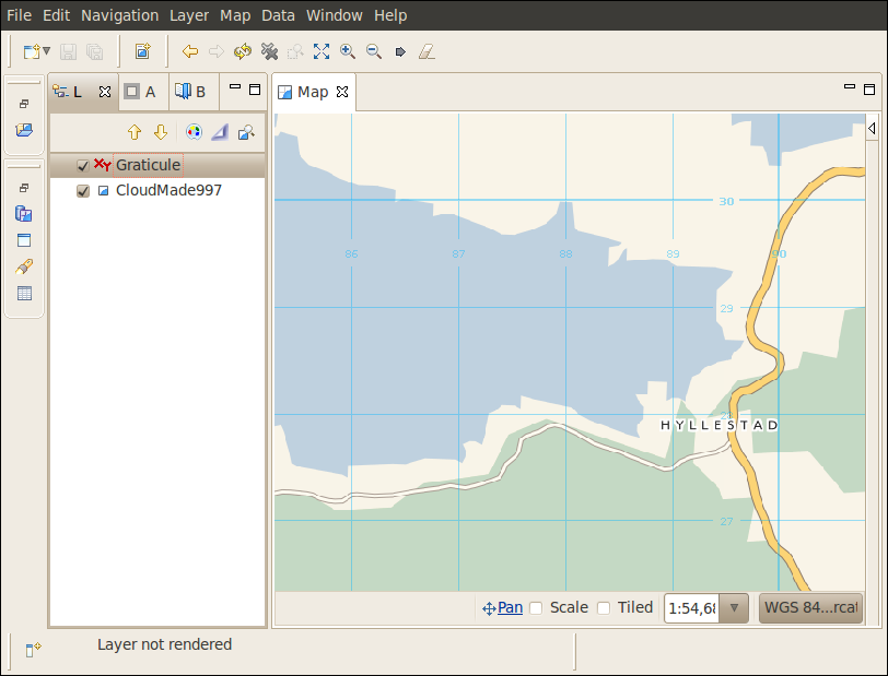
And here the tasks that can get you started with the graticule: